


Geographical data
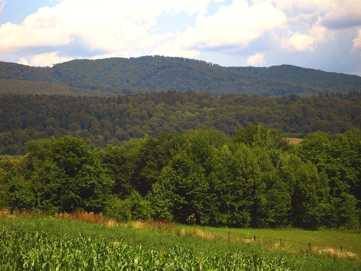
With a privileged geographic position, Neamț County offers its guests an extremely spectacular natural oasis. Between the mountains – with a maximum altitude that reaches over 1,900 meters at Ocolaşul Mare peak – and the lowlands, between secular forests and priceless cultural vestiges, with a varied landscape and a rich history, Neamț is one of the most visited areas, with an impressive touring map and a highly developed reputation.
The city of Tîrgu Neamț is situated in the central-eastern part of Romania, in the Neamț Depression (Ozana – Topolița), on the middle reaches of the river Neamț (Ozana), at an altitude of about 360 m.
On the map of the Neamț County, the city is located in the northeast, downstream of the confluence of Nemțişor river with Neamț river (Ozana), at a junction of roads of high economic, touristic and strategic importance. It abuts in the north on Răuceşti village, in the west on Vânători-Neamț commune, in the southeast on the Petricani commune and in the east on the Timişeşti commune.
Rural surroundings
47 ° 12 ‘northern latitude and 26 ° 21’ eastern longitude
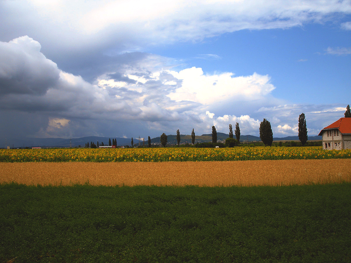
4,731 hectares – of which 2002 hectares of arable land, 1009 ha of pasture, 250 ha of forests, 121 ha of orchards and 1349 ha within the built-up areas..
Population: 18.232
Households: 6940
Buildings: 3822